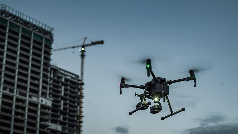
Drone Data Analytics: Turning Aerial Insights into Actionable Strategies
Drone technology has advanced beyond capturing stunning aerial imagery to become a powerful tool for data analytics.
By collecting high-resolution photos, videos, and sensor data, drones provide valuable insights that can be transformed into actionable strategies for various industries. This shift from raw data to strategic insights is revolutionizing how businesses approach decision-making and planning.
In sectors such as agriculture, construction, and real estate, drone data analytics helps in monitoring progress, identifying trends, and making informed decisions. For example, in agriculture, detailed crop health data allows for precise application of resources, while in construction, progress monitoring data aids in adhering to project timelines and budgets.
This blog explores how drone data analytics is being utilized to convert aerial insights into actionable strategies. We’ll discuss the tools and techniques for analyzing drone data, the benefits of data-driven decision-making, and how businesses can leverage these insights for improved outcomes and efficiency.

